Africa / Algeria

Batna.

Places to go. A little room to wander.

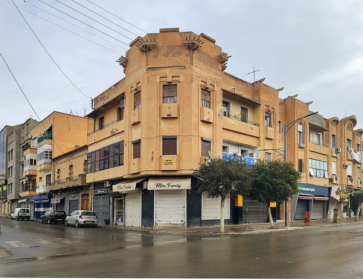
A local view near Batna, Algeria
A local view near Batna, Algeria. Photograph by Reda Kerbush · CC BY-SA 4.0 · Resized and converted to WebP.

THE SHORTLIST

A few places worth your time.

01Culture · DAY 1 IDEA

Regional excursion: Timgad, east of Batna beyond Tazoult

Timgad archaeological site

The surviving street grid makes Timgad a particularly legible place to consider Roman town planning. Begin by locating the principal crossing streets, then choose a few public buildings to examine within that structure. Follow the site's visitor routes and avoid climbing the remains; understanding the plan and the relationship between buildings is more useful than trying to photograph every ruin.

Allow about 120 minutes · planning estimate

Map Source
02Culture · DAY 1 IDEA

Regional excursion: Tazoult, about 10 km east of Batna

Lambaesis archaeological site

At Tazoult, the remains of Lambaesis provide a military counterpart to the planned town of Timgad farther east. Use local interpretation to understand the Roman camp's role and distinguish the surviving structures from the surrounding modern settlement. Confirm access to the individual areas you intend to see, since the archaeological landscape should not be treated as one unrestricted enclosure.

Allow about 90 minutes · planning estimate

Map Source
03Culture · DAY 2 IDEA

Regional excursion: about 25 km north of Batna

Medracen Numidian Mausoleum

The mausoleum's circular base and conical mass create a very different encounter from the Roman urban sites. Study the monument from the permitted viewing area and ask about its Numidian context without assuming the burial chamber can be entered. Its significance is visible in the overall form and stonework, with close access governed by conservation arrangements at the site.

Allow about 60 minutes · planning estimate

Map Source

A note before you go. Tazoult lies about ten kilometres east of Batna, with Timgad farther along the Batna–Khenchela direction; Medracen is a separate journey roughly twenty-five kilometres north. Arrange a vehicle and confirm each site's visitor entrance and permitted areas locally. The suggested durations are editorial introductions, especially the two hours at Timgad, which a detailed visit can readily exceed. They exclude the regional road transfers.

Planning sources reviewed 2026-10-19. Suggested days and time allowances are editorial starting points. Check the linked visitor information for opening hours, access, and reservations.

A LITTLE STRUCTURE. ROOM FOR DISCOVERY.

Your Batna plan.

Add a few stops, choose your days, and leave space between them.

My saved trips
Location, map & reference details

Find your bearings.

Country
Algeria
Area
Batna
Time zone
Africa/Algiers
Coordinates
35.5560, 6.1741

Geographic reference: GeoNames, CC BY 4.0.

Batna

Loading this map connects to OpenStreetMap.

KEEP EXPLORING

More places in Algeria.

Browse the country
A WORLD OF POSSIBILITIES

Where to next?

Search 600 places across 100 countries.