Europe / Belgium

Brussels.

Places to go. A little room to wander.

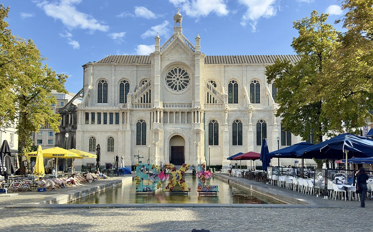
A local view near Brussels, Belgium
A local view near Brussels, Belgium. Photograph by Chris Olszewski · CC BY-SA 4.0 · Resized and converted to WebP.

THE SHORTLIST

A few places worth your time.

01Culture · DAY 1 IDEA

Grand-Place/Grote Markt

City Hall

The oldest part of the present Town Hall is its east wing (to the right when facing the front). This wing, together with a shorter belfry, was built and completed in 1420 under direction of Jacob van Thienen. As a result, a second, somewhat longer wing was built on to the existing structure, with Charles the Bold laying its first stone in 1444. This left wing was built by Guillaume de Voghel who in 1452 also built the Magna Aula at the Coudenberg.

Allow about 90 minutes · planning estimate

Map Source
02Culture · DAY 1 IDEA

Brussels

Grand-Place

Surrounded by the city tower and a range of beautiful 300-year-old buildings. In the evening, lit by bright illumination, it is simply ravishing. Some evenings a music and light show is provided with the buildings serving as a canvas. Have a "gaufre de Liège-Luikse wafel" here (Belgian waffle with caramelized sugar) — the best ones are available from the little shops off the northeast corner of the Grand-Place. It is a .

Allow about 90 minutes · planning estimate

Map Source
03Neighborhoods · DAY 1 IDEA

Brussels

Poelaert Square

Poelaert Square, named after the architect of the adjacent Palace of Justice, is the largest square in Brussels and provides the best view point over the city. On the border between the upper and lower city, the square is on Gallows Hill (Galgenberg), where in Medieval Brussels convicts were executed on the gallows. Famously, anatomist Andreas Vesalius frequented Gallows Hill to collect corpses of executed convicts for his anatomical research.

Allow about 60 minutes · planning estimate

Map Source
04Outdoors · DAY 2 IDEA

Koningsstraat 236

Botanical Garden

The original botanical garden is used as a park and its greenhouse as a concert venue. It started in the 18th century as a small plot in the garden of the former palace of Prince Charles Alexander of Lorraine, but it became under threat in 1826 when the Royal Library and several other projects sought to reclaim the area. To preserve the collection, a collective of herbalists and botanists acquired a new plot of land just outside the city walls, which by then consisted of a collection of ponds, woods and allotments.

Allow about 60 minutes · planning estimate

Map Source
05Food · DAY 2 IDEA

Windmolenstraat 21

Museum of Milling and Food

Occupying the former windmill of Evere, built in 1841 to grind the grain of surrounding farms. It was hooked up to a steam machine in 1853, making the blades redundant, and they were disassembled shortly afterwards. From 1911 onwards, the mill could no longer compete with larger mills and it lost its function. For the next 20 years, it became a location for various companies and factories unrelated to milling. From 1930 to 1983 most notably, the building served as a spices factory, after which the mill remained empty for 25 years.

Allow about 60 minutes · planning estimate

Map Source

A note before you go. Start with City Hall, then decide whether Grand-Place deserves a separate visit rather than rushing both. The suggested days are an editable grouping, not a timed tour. Visit allowances exclude transfers, meals and queues; confirm the exact entrance and current visiting arrangements for Museum of Milling and Food before setting off.

Reference material retrieved 2026-10-19. Suggested days and time allowances are editorial starting points. Check the linked visitor information for opening hours, access, and reservations.

BEFORE YOU SET OFF

A more practical kind of plan.

Getting your bearings

Broadly speaking, it is strongly suggested not to drive near or within the R0. Most streets near the Grand-Place have been pedestrianised, and only taxi and delivery drivers can access that area. To encourage cycling through the city, cyclists are granted some privileges in Brussels traffic. Most notably, cyclists are allowed to drive either way in one-way streets. They are allowed to drive through the car-free zone in the city center, the largest in Europe after Venice.

Build a route that makes sense

City Hall and Grand-Place are about 0.1 km apart in a straight line. Use the route link to compare the actual streets or transport connections before putting both in the same morning; the measurement is not a walking distance or a transfer estimate.

A LITTLE STRUCTURE. ROOM FOR DISCOVERY.

Your Brussels plan.

Add a few stops, choose your days, and leave space between them.

My saved trips
Location, map & reference details

Find your bearings.

Country
Belgium
Area
Brussels Capital
Time zone
Europe/Brussels
Coordinates
50.8505, 4.3488

Geographic reference: GeoNames, CC BY 4.0.

Brussels

Loading this map connects to OpenStreetMap.

Visitor information & sources

Reference credits & reuse

This city guide includes selected, abridged material by Wikivoyage contributors, adapted under CC BY-SA 4.0. The adapted guide text is available under the same license; photographs and website design retain their separate terms. Selected and abridged reference descriptions; operational prices and timetables omitted. Elsewhere added the shortlist, geographic grouping and planning notes.

Reference material retrieved 2026-10-19. It is community-edited background, not firsthand reporting or a live opening-hours service.

KEEP EXPLORING

More places in Belgium.

Browse the country
A WORLD OF POSSIBILITIES

Where to next?

Search 600 places across 100 countries.