Europe / Luxembourg

Walferdange.

Places to go. A little room to wander.

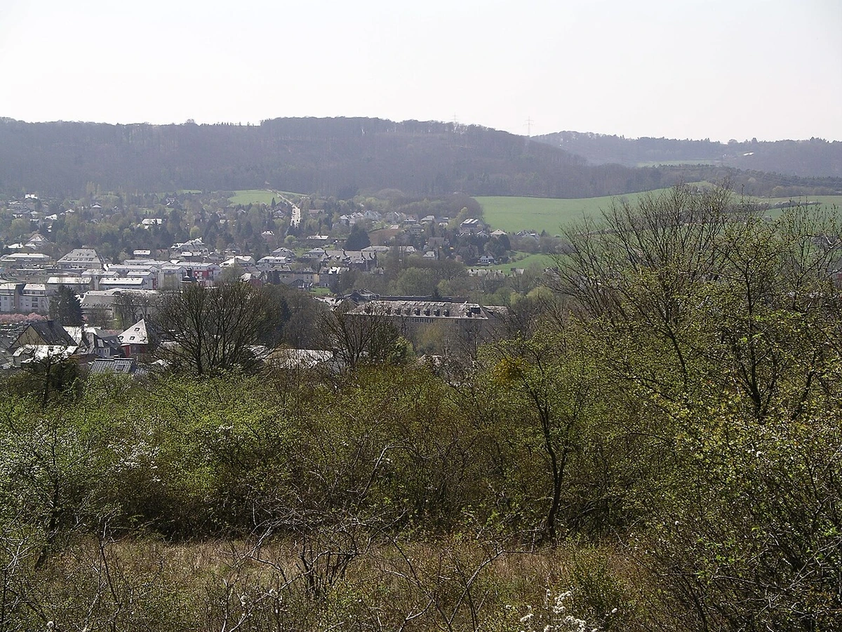
A local view near Walferdange, Luxembourg
A local view near Walferdange, Luxembourg. Photograph by Meffo · CC BY 3.0 · Resized proportionally to at most 1200 pixels wide without upscaling or a height limit; original ICC retained; EXIF orientation applied; converted to WebP high-quality photographic compression.

THE SHORTLIST

A few places worth your time.

01Culture · DAY 1 IDEA

Woodland at Helmsange, municipality of Walferdange

Raschpëtzer Qanat

The qanat makes Roman-era engineering tangible through its system of water-collecting tunnels and shafts. Begin with the information at the water basin and use only the sections specifically open to visitors. The continuing flow of water gives a practical dimension to the history: this was infrastructure intended to deliver water, not a ceremonial underground chamber.

Allow about 90 minutes · planning estimate

Map Source
02Outdoors · DAY 1 IDEA

Guttland.Trail between Walferdange and Helmsange

Sonnebierg nature reserve trail section

Walk the Sonnebierg section of the signed trail with attention to the meeting of natural landscape and industrial remains. The route follows traces associated with the former gypsum mines before continuing toward the qanat. Pause at open viewpoints and examine the changing ground underfoot; combine this segment with the aqueduct visit in one circuit.

Allow about 60 minutes · planning estimate

Map Source
03Culture · DAY 2 IDEA

Rue de l’Église, Walferdange

Trinity Church

The neoclassical church’s interior rewards a slower look at the wall paintings by Gerhard Lamers, dated 1903 and restored in 2011. Side altars and statues brought from Luxembourg’s cathedral add another layer to the building’s story. Visit around worship rather than during it, and ask about access before assuming the interior is open.

Allow about 60 minutes · planning estimate

Map Source

A note before you go. The signed Guttland.Trail Raschpëtzer begins and ends at Walferdange station and links Sonnebierg with the aqueduct. Its published length is about 5.9 kilometres; treat these two stops as parts of one walk rather than repeating the approach twice. Check qanat visitor access and church services before going. Durations are editorial allowances for slow exploration and interpretation, excluding travel to Walferdange.

Planning sources reviewed 2026-10-19. Suggested days and time allowances are editorial starting points. Check the linked visitor information for opening hours, access, and reservations.

A LITTLE STRUCTURE. ROOM FOR DISCOVERY.

Your Walferdange plan.

Add a few stops, choose your days, and leave space between them.

My saved trips
Location, map & reference details

Find your bearings.

Country
Luxembourg
Area
Luxembourg
Time zone
Europe/Luxembourg
Coordinates
49.6632, 6.1322

Geographic reference: GeoNames, CC BY 4.0.

Walferdange

Loading this map connects to OpenStreetMap.

KEEP EXPLORING

More places in Luxembourg.

Browse the country
A WORLD OF POSSIBILITIES

Where to next?

Search 600 places across 100 countries.