Africa / Namibia

Walvis Bay.

Places to go. A little room to wander.

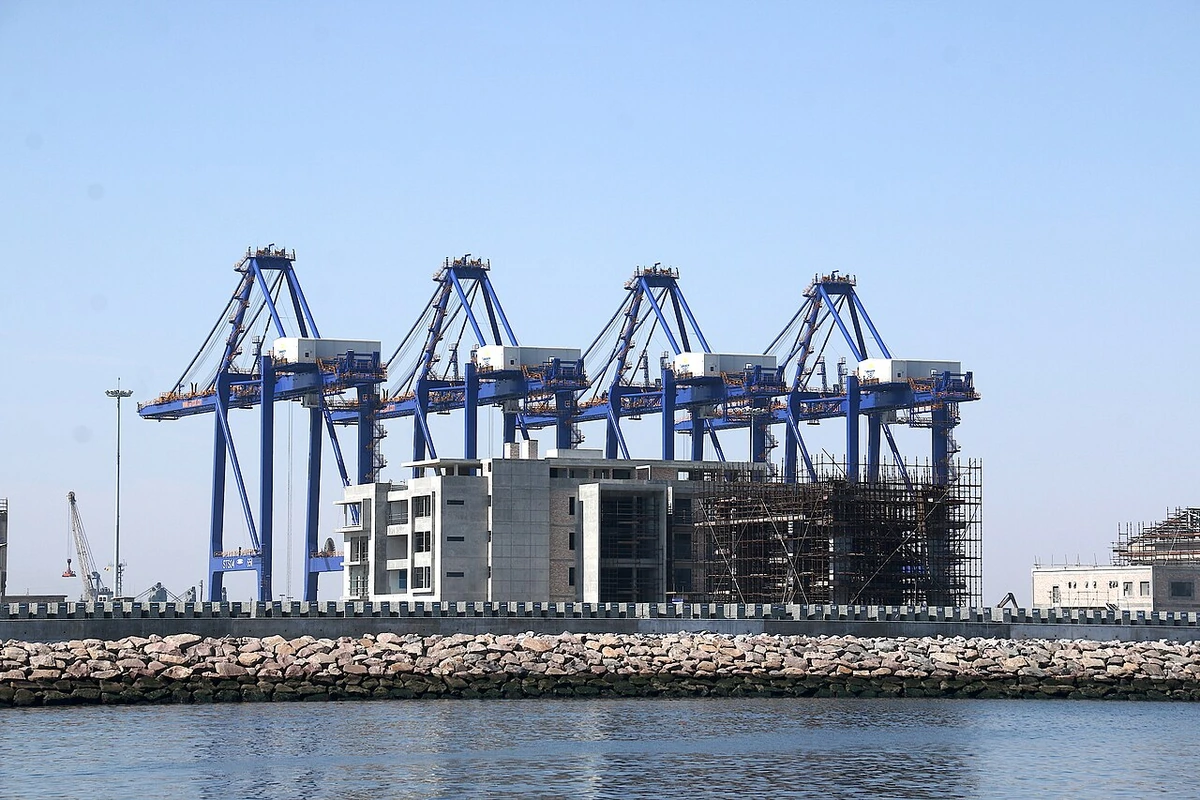
A local view near Walvis Bay, Namibia
A local view near Walvis Bay, Namibia. Photograph by Hp.Baumeler · CC BY-SA 4.0 · Resized proportionally to at most 1200 pixels wide without upscaling or a height limit; original ICC retained; EXIF orientation applied; converted to WebP high-quality photographic compression.

THE SHORTLIST

A few places worth your time.

01Outdoors · DAY 1 IDEA

Southern edge of Walvis Bay

Walvis Bay Lagoon

The lagoon is part of an internationally recognized wetland that includes intertidal areas and the wider bay landscape. Watch from the established shore and give the feeding birds space rather than moving closer across the flats. Changes in exposed mud and water help explain why patient observation here can be more rewarding than seeking a single fixed viewpoint.

Allow about 90 minutes · planning estimate

Map Source
02Outdoors · DAY 1 IDEA

Outskirts of Walvis Bay

Dune 7

Dune 7 offers a direct encounter with the sand landscape just beyond Walvis Bay. Choose whether to climb or simply study the dune from below according to your own energy and the conditions. Pause to compare the desert's shape with the flat wetland encountered earlier, and confirm the site's visitor access arrangements before driving out.

Allow about 90 minutes · planning estimate

Map Source
03Outdoors · DAY 2 IDEA

Regional excursion: just under 60 km south of Walvis Bay, Namib-Naukluft National Park

Sandwich Harbour

At Sandwich Harbour, dunes and the coastal lagoon come together within the national park south of Walvis Bay. Visit with an operator who manages the vehicle route and park arrangements. Allow time at the landscape to look beyond the obvious dune-and-ocean photograph; the estimate here covers on-site appreciation, with the full excursion and transfers taking longer.

Allow about 120 minutes · planning estimate

Map Source

A note before you go. Spend one part of the visit at the lagoon and another at Dune 7 on the outskirts. Reserve Sandwich Harbour through an established operator and follow its route and access arrangements in the national park. The listed durations are editorial time at each landscape; the 120-minute Sandwich Harbour allocation excludes its substantial vehicle journey and does not represent the length of the complete tour.

Planning sources reviewed 2026-10-19. Suggested days and time allowances are editorial starting points. Check the linked visitor information for opening hours, access, and reservations.

A LITTLE STRUCTURE. ROOM FOR DISCOVERY.

Your Walvis Bay plan.

Add a few stops, choose your days, and leave space between them.

My saved trips
Location, map & reference details

Find your bearings.

Country
Namibia
Area
Erongo Region
Time zone
Africa/Windhoek
Coordinates
-22.9575, 14.5053

Geographic reference: GeoNames, CC BY 4.0.

Walvis Bay

Loading this map connects to OpenStreetMap.

KEEP EXPLORING

More places in Namibia.

Browse the country
A WORLD OF POSSIBILITIES

Where to next?

Search 600 places across 100 countries.