Oceania / Vanuatu

Port-Olry.

Places to go. A little room to wander.

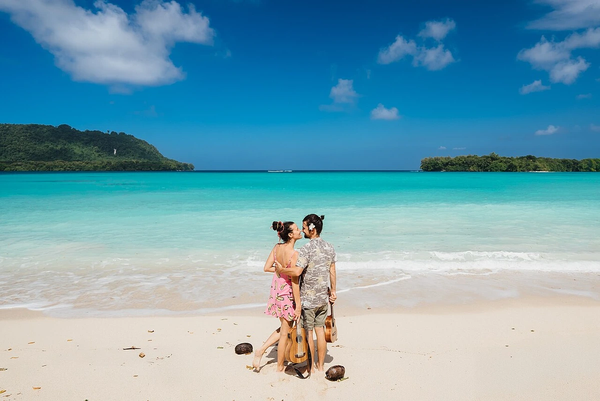
Port-Olry, Vanuatu
Port-Olry, Vanuatu. Photograph by Gaaaga · CC BY 4.0 · Resized proportionally, EXIF orientation applied, converted to high-quality WebP (quality 92); no content edits.

THE SHORTLIST

A few places worth your time.

01Outdoors · DAY 1 IDEA

Port-Olry village coast

Port Olry Beach

Give the village's own beach time before setting off toward better-known stops farther south. Walk a manageable section, observe boat activity from a considerate distance and ask your hosts about appropriate places to enter the water. Avoid assuming that offshore islands or a visible sandbar provide an unrestricted walking route; access and conditions need local guidance.

Allow about 120 minutes · planning estimate

Map Source
02Outdoors · DAY 2 IDEA

Hog Harbour area; road excursion south from Port-Olry

Champagne Beach

Travel south to the managed Champagne Beach area for a separate view of Santo's east coast. Confirm entry arrangements with its custodians and leave time for a shoreline walk rather than limiting the stop to a photograph. Keep clear of boat landing activity and choose whether to swim only after checking the day's conditions locally.

Allow about 90 minutes · planning estimate

Map Source
03Outdoors · DAY 2 IDEA

East-coast Santo, Shark Bay area; drive south from Port-Olry

Nanda Blue Hole

Continue farther south on a planned road excursion to the freshwater setting of Nanda Blue Hole. Check the correct managed entrance and current arrangements before arrival, especially if your driver uses an alternative local name. Allow time to enjoy the forest surroundings and water from the permitted visitor areas, keeping swimming optional and leaving the banks undisturbed.

Allow about 90 minutes · planning estimate

Map Source

A note before you go. Combine Port-Olry's beach with a locally confirmed meal, then book a driver for the separate southern excursion. Agree the order, waiting time and return pickup for Champagne Beach and Nanda, checking access with each site's hosts. Carry cash, water and swimming equipment if needed, and ask about current conditions rather than treating every advertised beach as equally suitable for swimming.

Planning sources reviewed 2026-10-19. Suggested days and time allowances are editorial starting points. Check the linked visitor information for opening hours, access, and reservations.

A LITTLE STRUCTURE. ROOM FOR DISCOVERY.

Your Port-Olry plan.

Add a few stops, choose your days, and leave space between them.

My saved trips
Location, map & reference details

Find your bearings.

Country
Vanuatu
Area
Sanma
Time zone
Pacific/Efate
Coordinates
-15.0418, 167.0727

Geographic reference: GeoNames, CC BY 4.0.

Port-Olry

Loading this map connects to OpenStreetMap.

KEEP EXPLORING

More places in Vanuatu.

Browse the country
A WORLD OF POSSIBILITIES

Where to next?

Search 600 places across 100 countries.