South America / Brazil

São Paulo.

Places to go. A little room to wander.

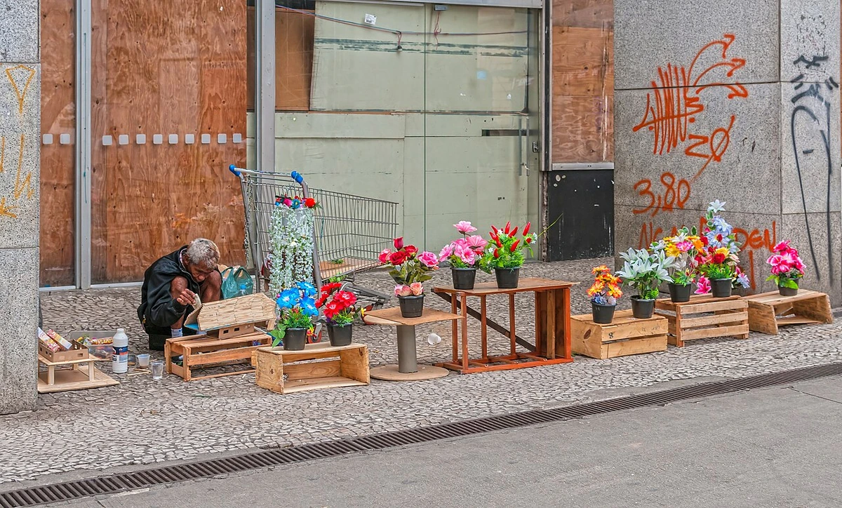
A local view near São Paulo, Brazil
A local view near São Paulo, Brazil. Photograph by Wilfredor · CC BY-SA 4.0 · Resized and converted to WebP.

THE SHORTLIST

A few places worth your time.

01Culture · DAY 1 IDEA

R. João Brícola, 24

Santander Beacon

Previously known as the Banespa building (after the bank that used to occupy the building), it was the tallest skyscraper in the city between its completion in 1947 and the construction of the Itália building in 1965. Aside from art exhibitions, a cafe and an indoor skate park, visitors can take a lift to the 35th floor and climb up to the tower, from which there are panoramic views of the city. The top of the building lights up in different colors to celebrate certain dates.

Allow about 90 minutes · planning estimate

Map Source
02Neighborhoods · DAY 1 IDEA

República

República Square

There are buildings that bear witness to many different architectural styles: the 1935 Esther building, considered the first with a modern architectural design; the S-shaped Copan building designed by Oscar Niemeyer; and Itália building (see Historical buildings).

Allow about 60 minutes · planning estimate

Map Source
03Culture · DAY 1 IDEA

São Paulo

Minhocão

The Minhocão ("Big Worm"), a 2.7-km-long highway opened in 1970, is considered to be a monument to poor urban planning and to the chaotic growth of the city in a not-so-distant past. Its construction turned a large portion of the city center into a degraded area. Over the Minhocão, you have a unique view of the west part of the city center, mostly the Santa Cecília district. Seeing the Minhocão from below is also interesting, as it has been covered with works of art.

Allow about 90 minutes · planning estimate

Map Source
04Outdoors · DAY 2 IDEA

São Paulo

Leisure parks

are those with plenty of recreational, sport and cultural facilities, but do not contain considerable amounts of original vegetation. Parque Ibirapuera (see São Paulo/South Central) is certainly the most famous park of this type in the city, hosting various museums, monuments, and cultural activities. There are also plenty of activities for tourist with guided tours for birdwatch, tree's identification and a general and popular one Discovering the Ibirapuera Park, all managed by Parque Ibirpauera Conservação;

Allow about 60 minutes · planning estimate

Map Source
05Outdoors · DAY 2 IDEA

São Paulo

Mixed parks

are a mix between the two above types: they have both leisure facilities and preserved nature areas. They are a nice option if you think that nature is best enjoyed with the company of other people, or if you want to do something more relaxing and less adventurous. These include Parque do Carmo, Parque Ecológico do Tietê (see São Paulo/Far East) and Horto Florestal (see São Paulo/Northeast).

Allow about 60 minutes · planning estimate

Map Source

A note before you go. Start with Santander Beacon, then decide whether República Square deserves a separate visit rather than rushing both. The suggested days are an editable grouping, not a timed tour. Visit allowances exclude transfers, meals and queues; confirm the exact entrance and current visiting arrangements for Mixed parks before setting off.

Reference material retrieved 2026-10-19. Suggested days and time allowances are editorial starting points. Check the linked visitor information for opening hours, access, and reservations.

BEFORE YOU SET OFF

A more practical kind of plan.

Getting your bearings

Transport in São Paulo can be anything from joyful to complicated. Usually, the fastest and less stressful way to get around is by bicycle and public transportation, while the experience with cars can be hellish. Even these means of transport can be uncomfortably crowded during peaks, and only a very limited carry-on is recommended. You can check the SPTrans website, which is the city's transport administration department. There you can get itineraries using all the city's public transportation options. São Paulo has an extensive network of cycleways and a strong bicycle culture, and riding bikes can be quite enjoyable.

Build a route that makes sense

Santander Beacon and República Square are about 0.9 km apart in a straight line. Use the route link to compare the actual streets or transport connections before putting both in the same morning; the measurement is not a walking distance or a transfer estimate.

A LITTLE STRUCTURE. ROOM FOR DISCOVERY.

Your São Paulo plan.

Add a few stops, choose your days, and leave space between them.

My saved trips
Location, map & reference details

Find your bearings.

Country
Brazil
Area
São Paulo
Time zone
America/Sao_Paulo
Coordinates
-23.5475, -46.6361

Geographic reference: GeoNames, CC BY 4.0.

São Paulo

Loading this map connects to OpenStreetMap.

Visitor information & sources

Reference credits & reuse

This city guide includes selected, abridged material by Wikivoyage contributors, adapted under CC BY-SA 4.0. The adapted guide text is available under the same license; photographs and website design retain their separate terms. Selected and abridged reference descriptions; operational prices and timetables omitted. Elsewhere added the shortlist, geographic grouping and planning notes.

Reference material retrieved 2026-10-19. It is community-edited background, not firsthand reporting or a live opening-hours service.

KEEP EXPLORING

More places in Brazil.

Browse the country
A WORLD OF POSSIBILITIES

Where to next?

Search 600 places across 100 countries.