North America / Dominican Republic

Samaná.

Places to go. A little room to wander.

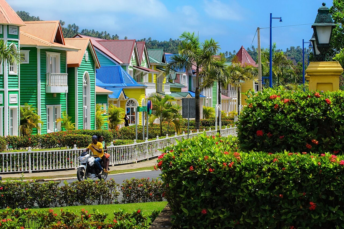
A local view near Samaná, Dominican Republic
A local view near Samaná, Dominican Republic. Photograph by Anton Bielousov · CC BY-SA 3.0 · Resized and converted to WebP.

THE SHORTLIST

A few places worth your time.

01Culture · DAY 1 IDEA

Central Santa Bárbara de Samaná

La Churcha, St Peter’s Church

The wooden church links Samaná with the African American settlers who established its congregation. Look at the building with that community history in mind, then seek local interpretation where available. This remains a place of worship: confirm interior access and give services priority, using an exterior visit when that is the appropriate option.

Allow about 60 minutes · planning estimate

Map Source
02Outdoors · DAY 1 IDEA

Island in Samaná Bay; boat excursion from town

Cayo Levantado public beach

Plan specifically for the public beach side of the island and check what the operator includes before boarding. The palm-lined shore offers a simple outing for walking, resting and looking across the bay. Resort facilities occupy another part of the island and require their own arrangements; confirm landing access and your return boat directly.

Allow about 120 minutes · planning estimate

Map Source
03Outdoors · DAY 2 IDEA

South of Samaná Bay; regional guided boat excursion

Los Haitises National Park

Approach the limestone formations and mangroves with a guide who can connect the coastal scenery with the park’s ecosystems. Enter only the caves open on your itinerary and follow the rules around Indigenous rock art. The two-hour allowance concerns selected park stops; the crossing and any wider tour programme are additional parts of the day.

Allow about 120 minutes · planning estimate

Map Source

A note before you go. Visit La Churcha around its worship schedule, then arrange marine outings through a confirmed operator. The tourism board identifies boat departures for Cayo Levantado from Avenida Marina and guided boat access toward Los Haitises. A recent Port Authority pier-repair announcement makes confirming the Cayo landing especially important. Editorial stop allowances exclude crossings, and a combined excursion may take much of a day.

Planning sources reviewed 2026-10-19. Suggested days and time allowances are editorial starting points. Check the linked visitor information for opening hours, access, and reservations.

A LITTLE STRUCTURE. ROOM FOR DISCOVERY.

Your Samaná plan.

Add a few stops, choose your days, and leave space between them.

My saved trips
Location, map & reference details

Find your bearings.

Area
Samaná
Time zone
America/Santo_Domingo
Coordinates
19.2040, -69.3341

Geographic reference: GeoNames, CC BY 4.0.

Samaná

Loading this map connects to OpenStreetMap.

KEEP EXPLORING

More places in Dominican Republic.

Browse the country
A WORLD OF POSSIBILITIES

Where to next?

Search 600 places across 100 countries.