01Food · DAY 1 IDEA
Otavalo
Town Markets
. Every Saturday there is a Mercado Artesanal at the so-called Plaza de Ponchos between calle Sucre and Jaramillo, where indigenous and mestizo people from Otavalo and surrounding communities sell their handicrafts. You will find a wide range of weavings, jewelry, clothes, wood and stone carvings, paintings, hats, and all kind of kitsch from pretty much any corner of Ecuador and neighbouring Peru and Colombia. Most vendors will claim that their goods are all hand-made at home, but you will soon get a feel what´s machine-made mass production and what´s a real quality handicraft. Although Saturday is the main market day, purchasing handicrafts on any other day is possible and a far less hectic experience. If you want something more authentic or just want to stock up on your groceries, try the town's largest food market Mercado 24 de Mayo (open all week). There is also an animal market Mercado de Animales, previously in the northwest of town across the Panamarican Highway, and later moved to 5km North of Otavalo, where local farmers buy and sell their livestock. This market is quite an experience, but not recommendable for people who care about animal rights (unless you are planning to protest about the way those animals are treated there).
Allow about 60 minutes · planning estimate
02Outdoors · DAY 1 IDEA
Otavalo
Peguche Waterfall
is a beautiful waterfall with a height of 18 m, situated at 3 km from Otavalo. After the waterfall, the river takes the name of "Jatun Yacu" or "Big Water". This is a sacred place for the Indians as they have a close relationship with nature, especially mountains, water and certain trees. Lagoons, springs and waterfalls are considered places full with powers, where the natives carry out ritual baths of purification or pacts with the spirits of the place.
Allow about 60 minutes · planning estimate
03Culture · DAY 1 IDEA
Otavalo
Cerro Cayambe
is an imposing extinct volcano, the third highest mountain of Ecuador and the highest point on the planet crossed by the equatorial line. It is located approximately 65 km northeast of Quito and 60 km southeast of Otavalo. On clear days, its snow-covered summit is perfectly visible from several points of the northern region. For indigenous people, due to its location and its form, Cayambe constituted an important astronomical reference and an exact agricultural calendar. Local people considered the mountain as the center of the Universe and time.
Allow about 90 minutes · planning estimate
04Neighborhoods · DAY 2 IDEA
Otavalo
Other Villages
There is a large number of villages surrounding Otavalo, Ibarra, and Cotacachi. Each village tends to specialise in the manufacture of a one particular good, e.g. weavings, rugs, embroidery, wood carvings, handicrafts made of totora reed, and others.
Allow about 60 minutes · planning estimate
05Outdoors · DAY 2 IDEA
Otavalo
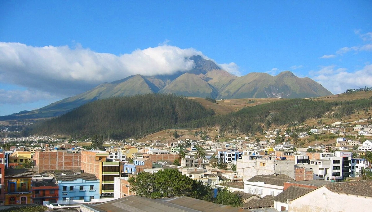
Imbabura Mountain
, 4610 m high, is 60 km north of Quito, near Otavalo and San Pablo Lake. During droughts, the locals carry out rituals on the mountain or in other sacred places to ask for his help. During these ceremonies, there is a "Huaccha Caray"(poor gifts), which consists in collecting food of all the families: this food is then blessed by the Yachac or shamán, and shared by all people, while they pray and ask God and the Taita Imbabura for water.
Allow about 60 minutes · planning estimate
Reference material retrieved 2026-10-19. Suggested days and time allowances are editorial starting points. Check the linked visitor information for opening hours, access, and reservations.