01Culture · DAY 1 IDEA
Gonder Road
Martyr's Memorial Monument
Huge monument with waterfalls going to Blue Nile. Include a museum with pictures.
Allow about 90 minutes · planning estimate
Africa / Ethiopia
Places to go. A little room to wander.
THE SHORTLIST
Gonder Road
Huge monument with waterfalls going to Blue Nile. Include a museum with pictures.
Allow about 90 minutes · planning estimate
Bezawit Road
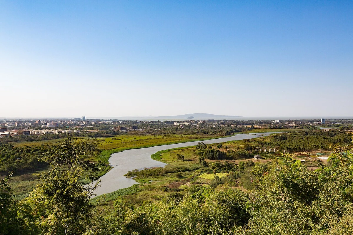
Bahir Dar grew around a Jesuit settlement, founded in the sixteenth or seventeenth century, from which time the Pedro Páez building dates. One of Emperor Haile Selassie's palaces is near the city, and the Emperor considered moving the national capital to the town. The palace is an impressive architectural work of its time. Facing Lake Tana it provides a beautiful, picturesque scene of the Blue Nile. You cannot actually go inside the palace, or see it very well.
Allow about 60 minutes · planning estimate
Bahir Dar
Some of the world's oldest churches and monasteries are on islands in Lake Tana. There are lots of boat tours available to the monasteries. The tours range from 2 to 12 hours long and can be booked through your hotel, by contacting a guide directly on WhatsApp, or by one of the many touts in the city. You can do it much cheaper by chartering your own boat and visiting only the islands you want to see and also getting a local minibus to the waterfall .
Allow about 60 minutes · planning estimate
Regional outing · 24 km from Bahir Dar (straight line)
A once spectacular sight that has been ruined by the building of a hydro-power dam. In rainy season (May to Sep) there is a decent flow but in the dry season the falls are pretty minimal and probably not worth suffering for 2.5-3 hours on bad gravel roads.
Allow about 60 minutes · planning estimate
Bahir Dar
In the center of town, there is a small row of trees that attracts around 30 or so hornbills every night. Grab a drink or dinner at one of the places on the first floor across the street and enjoy the view.
Allow about 90 minutes · planning estimate
A note before you go. Treat Blue Nile Falls as a separate regional outing from Bahir Dar. Arrange the outward and return journey before adding another visit on that day. The suggested days are an editable grouping, not a timed tour. Visit allowances exclude transfers, meals and queues; confirm the exact entrance and current visiting arrangements for Hornbill trees before setting off.
Reference material retrieved 2026-10-19. Suggested days and time allowances are editorial starting points. Check the linked visitor information for opening hours, access, and reservations.
BEFORE YOU SET OFF
Bajajs (three-wheel rick-shaws) are the most common form of transportation in the city. There are also blue minibuses, but few still exist as means to get around town.
Martyr's Memorial Monument and Palace of Emperor Haile Selassie & Viewpoint over Bahir Dar/Blue Nile are about 3.5 km apart in a straight line. Use the route link to compare the actual streets or transport connections before putting both in the same morning; the measurement is not a walking distance or a transfer estimate.
A LITTLE STRUCTURE. ROOM FOR DISCOVERY.
Add a few stops, choose your days, and leave space between them.
Time estimates cover visits only. Add time for meals, travel, queues, and breaks. Map links open Google Maps with your selected stops.
Save personal booking references elsewhere. Clearing browser storage removes your plans; download a copy to keep.
This city guide includes selected, abridged material by Wikivoyage contributors, adapted under CC BY-SA 4.0. The adapted guide text is available under the same license; photographs and website design retain their separate terms. Selected and abridged reference descriptions; operational prices and timetables omitted. Elsewhere added the shortlist, geographic grouping and planning notes.
Reference material retrieved 2026-10-19. It is community-edited background, not firsthand reporting or a live opening-hours service.
KEEP EXPLORING