Asia / Nepal

Bharatpur.

Places to go. A little room to wander.

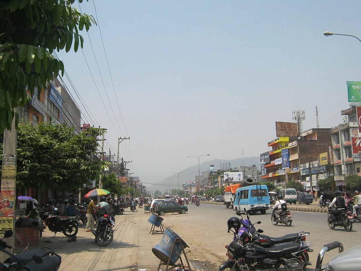
A local view near Bharatpur, Nepal
A local view near Bharatpur, Nepal. Photograph by Krish Dulal · CC BY-SA 3.0 · Resized proportionally to at most 1200 pixels wide without upscaling or a height limit; original ICC retained; EXIF orientation applied; converted to WebP high-quality photographic compression.

THE SHORTLIST

A few places worth your time.

01Culture · DAY 1 IDEA

North of Bharatpur-Narayanghat; local road excursion

Devghat sacred confluence

Visit the confluence of the Kali Gandaki and Trishuli, where the river continues as the Narayani, with time to understand its importance for pilgrims. Observe temples, ashram activity and riverside rituals from appropriate public areas. Ask before photographing ceremonies or people, and let local hosts advise which paths and crossings are suitable on the day.

Allow about 120 minutes · planning estimate

Map Source
02Culture · DAY 1 IDEA

Gaindakot, Nawalpur; across the Narayani from Bharatpur

Maula Kalika Temple

Travel across the Narayani to Gaindakot for the hilltop temple dedicated to Kalika. Confirm whether your visit will use the walking approach or the cable car, and allow extra time around worship and festivals. Let the temple's religious purpose lead the visit, with the views over the river landscape providing a wider geographical context.

Allow about 90 minutes · planning estimate

Map Source
03Outdoors · DAY 2 IDEA

Barandabhar-Chitwan buffer-zone landscape; excursion from Bharatpur

Beeshazari Tal — Beeshazar and Associated Lakes

Arrange a guided visit to this wetland landscape in the Chitwan buffer zone, asking about the appropriate entrance, permissions and route before departure. Spend time observing the relationship between open water, vegetation and the surrounding forest. Wildlife appearances vary, so let habitat interpretation give the visit its structure and follow the guide's instructions about distance and movement.

Allow about 120 minutes · planning estimate

Map Source

A note before you go. Arrange local road transport for Devghat and the journey across to Gaindakot, checking Maula Kalika's current approach and cable-car arrangements if using them. Book Beeshazari separately through a knowledgeable local guide and confirm permits, conditions and the permitted route. River levels and rainfall can affect local access, so allow flexible timing and avoid relying on unconfirmed paths along riverbanks.

Planning sources reviewed 2026-10-19. Suggested days and time allowances are editorial starting points. Check the linked visitor information for opening hours, access, and reservations.

A LITTLE STRUCTURE. ROOM FOR DISCOVERY.

Your Bharatpur plan.

Add a few stops, choose your days, and leave space between them.

My saved trips
Location, map & reference details

Find your bearings.

Country
Nepal
Area
Bagmati Province
Time zone
Asia/Kathmandu
Coordinates
27.6803, 84.4365

Geographic reference: GeoNames, CC BY 4.0.

Bharatpur

Loading this map connects to OpenStreetMap.

KEEP EXPLORING

More places in Nepal.

Browse the country
A WORLD OF POSSIBILITIES

Where to next?

Search 600 places across 100 countries.