Europe / Norway

Oslo.

Places to go. A little room to wander.

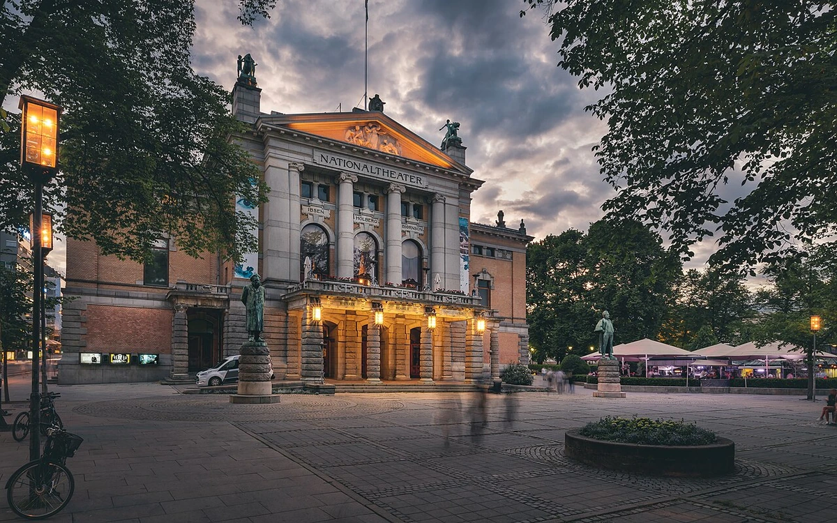
A local view near Oslo, Norway
A local view near Oslo, Norway. Photograph by Orjanarvola · CC BY-SA 4.0 · Resized proportionally to at most 1200 pixels wide without upscaling or a height limit; original ICC retained; EXIF orientation applied; converted to WebP high-quality photographic compression.

THE SHORTLIST

A few places worth your time.

01Culture · DAY 1 IDEA

Oslo

Government Building Complex

Regjeringskvartalet is a group of buildings housing several of the offices of the executive branch (ministries) as well as the Supreme Court. The area does not display a consistent style but instead reflects 200 years of development. The prime minister's building and the Y-building are functionalist or brutalist architecture. The Y-building has a particular layout and the facade is decorated by Picasso's drawings carved directly into the concrete. Pablo Picasso also decorated the stair well in the prime minister's building.

Allow about 90 minutes · planning estimate

Map Source
02Food · DAY 1 IDEA

Birkelunden

Sunday Market at Birkelunden

Antiques and second hand market every Sunday noon until 7PM at Birkelunden park at Grünerløkka.

Allow about 60 minutes · planning estimate

Map Source
03Outdoors · DAY 1 IDEA

Oslo

Ekebergparken

At the steep, green hill east of city centre (tram 18 or 19 to Ekebergparken, bus 34 or 74 to Brannfjellveien) is even a sculpture park, with works by Norwegian and international artists such as Salvador Dalí, Lynn Chadwick, Richard Hudson and Per Ung among others. This point is assumed to be the background for Scream, Edvard Munch's famous picture. Alongside the idyllic forest paths you can see sculptures, but also find remnants of cultural history from different eras of Norwegian history or enjoy the incredible views over the capital. Small climbing park for children.

Allow about 60 minutes · planning estimate

Map Source
04Culture · DAY 2 IDEA

Oslo

Torshov

Torshov is the neighbourhood North of Grünerløkka, uphill from ring road 2. The central parts of Torshov was a large housing project in the city of Oslo in the 1920s. As a residential area, Torshov has a characteristic monumental design with elements of baroque revival and neo-classical style. The layout was inspired by the English garden city movement and the area was basically greenfield in the 1920s. The Torshov bull in the octagonal Hegermann square is the symbol of the area.

Allow about 90 minutes · planning estimate

Map Source
05Culture · DAY 2 IDEA

Oslo

Wooden housing areas

of Oslo like Kampen (bus 60), Vålerenga (bus 37), Rodeløkka (tram 17, bus 31 to Sofienberg) and Telthusbakken (bus 34/54). They are a "must" for lovers of old wooden town houses. These areas were likely to be erased from Oslo in the 1970s by eager town planners who wanted highways for cars rather than living areas for the citizens, but luckily they were stopped by idealists who really loved their city. Their effort made these parts of Oslo into something special, even though other Norwegian cities have bigger wooden areas. They are not a commonly visited by tourists, and may not be mentioned by your guide book, but some of the areas have cafes/restaurants worth a visit. In Kampen you can find a very cozy Elvis café by the church, and in Vålerenga Restaurant Smia is also located by the church.

Allow about 90 minutes · planning estimate

Map Source

A note before you go. Start with Government Building Complex, then decide whether Sunday Market at Birkelunden deserves a separate visit rather than rushing both. The suggested days are an editable grouping, not a timed tour. Visit allowances exclude transfers, meals and queues; confirm the exact entrance and current visiting arrangements for Wooden housing areas before setting off.

Reference material retrieved 2026-10-19. Suggested days and time allowances are editorial starting points. Check the linked visitor information for opening hours, access, and reservations.

BEFORE YOU SET OFF

A more practical kind of plan.

Getting your bearings

Oslo has a comprehensive public transport network, consisting of trains, metro, trams, buses and ferries. The network covers the Oslo municipality and the Akershus county surrounding the city. The network is planned and coordinated by Ruter. There are two main hubs for public transport within the city centre: Oslo Central Station (Oslo S) / Jernbanetorget and Nationaltheatret. All metro lines pass these stations, all train lines pass Oslo S and most trains (including the Airport Express Train (Flytoget)) pass Nationaltheatret.

Build a route that makes sense

Government Building Complex and Sunday Market at Birkelunden are about 1.5 km apart in a straight line. Use the route link to compare the actual streets or transport connections before putting both in the same morning; the measurement is not a walking distance or a transfer estimate.

A LITTLE STRUCTURE. ROOM FOR DISCOVERY.

Your Oslo plan.

Add a few stops, choose your days, and leave space between them.

My saved trips
Location, map & reference details

Find your bearings.

Country
Norway
Area
Oslo
Time zone
Europe/Oslo
Coordinates
59.9127, 10.7461

Geographic reference: GeoNames, CC BY 4.0.

Oslo

Loading this map connects to OpenStreetMap.

Visitor information & sources

Reference credits & reuse

This city guide includes selected, abridged material by Wikivoyage contributors, adapted under CC BY-SA 4.0. The adapted guide text is available under the same license; photographs and website design retain their separate terms. Selected and abridged reference descriptions; operational prices and timetables omitted. Elsewhere added the shortlist, geographic grouping and planning notes.

Reference material retrieved 2026-10-19. It is community-edited background, not firsthand reporting or a live opening-hours service.

KEEP EXPLORING

More places in Norway.

Browse the country
A WORLD OF POSSIBILITIES

Where to next?

Search 600 places across 100 countries.